
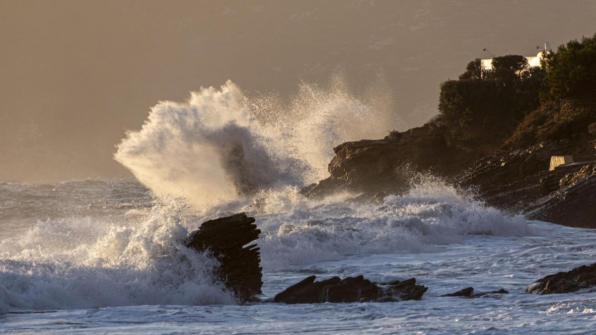
After a month of January marked by meteorological instability due to successive Atlantic storms and low pressure systems -like storms Harry and Kristin-, the month of February began with no possible respite. In recent days, Spain, and especially Andalusia, has been affected by the passage of storm Leonardowhile this weekend the southwest of the peninsula is preparing again to receive Storm Marta.
Leonardo’s step was especially remarkable, as it caused floods, massive evacuations and overflowing rivers in provinces such as Cádiz, Córdoba, Málaga and Seville. Furthermore, there are areas where the situation is especially serious, such as in GrazalemaAndalusian town that surpassed in just 35 days – from February 5th – the annual rain that falls in places like San Sebastián and Santander, with almost 2,000 liters of water per square meter since the beginning of the year.
Area flooded by the overflow of the Douro River as it passes through Aranda de Duero this Saturday.
But why are all these episodes happening? Is it the result of chance or is it the cause of climate change? He talked about it in a video Marita Rojas, airplane pilot and disseminator on networks. “The endless succession of storms that we are experiencing in Spain this winter is not because we are unlucky. It’s pure climate change“, says the aviation expert.
And what exactly happened? “Due to the planet’s axis of rotation, in winter the air at the North Pole cools and generates a large mass of cold air that we know as the polar vortex. Traditionally, it was stable and relatively circular, keeping it cold at high latitudes. But in recent years we have seen it more elongated, weak and irregular. This produces what meteorologists call southward cold and moves warmer air masses northward.“, explains Rojas.

The Smoke Well seen from the city of Pereña, in Salamanca.
“When the polar vortex becomes disorganized, atmospheric flow becomes more unstable. This favors the formation and chaining of Atlantic storms that enter the Peninsula.. Which translates into a lot of rain, a lot of wind and changes in temperature as we have seen all these weeks. Meanwhile, in other places in the northern hemisphere apparently strange things happen, like -6ºC in Florida, which is a place with an average temperature of 24ºC”, adds the pilot.
More turbulence when crossing the Atlantic by plane
And this situation, explains Rojas, It also has effects on aviationsince in the case of the Atlantic the so-called ‘jet stream’ is affected, which with this weakening of the temperature contrast between the Arctic and mid-latitudes “tends to meander”.
“He ‘jet stream’ It’s an air current that goes from west to east at around 250km/h across the North Atlantic and makes it much easier for us during the flight, because it speeds up the journey and saves fuel. But for us, as passengers and pilots, This translates into a more dynamic atmosphere and perhaps more turbulence in the ocean.“, shares the pilot.

Feature image of an airplane.
Also read
“Then no. It’s not coincidence or bad luck. The succession of storms we are experiencing is a sign of a more unstable atmosphere on a planet that has warmed very quickly.“, concludes Rojas.


